Skip to content
Our Map Illustration Process
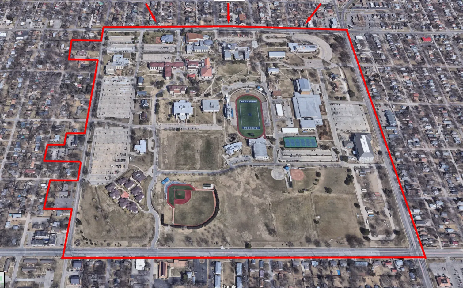
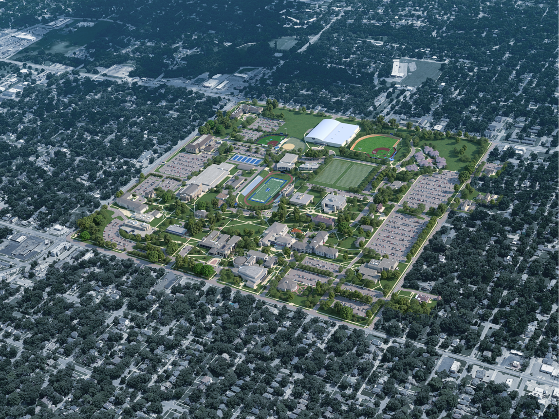
Campus Border Determination
- (CampusTours works collaboratively with each client to generate an approved border around all campus structures.)
- We can provide examples of campus borders we have developed
- https://campustours.com/clients/washburn/washburn-university-border-v2-witharrows.jpg

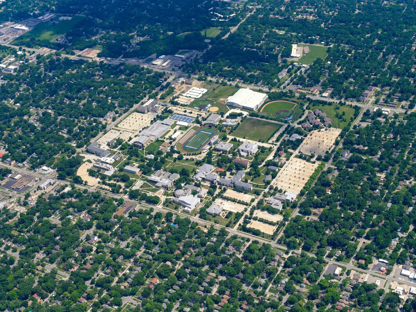
Aerial Photography
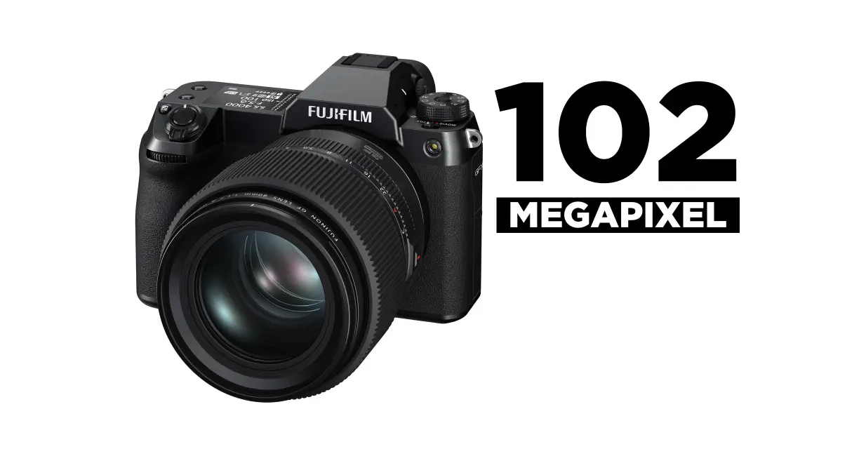
- (CampusTours conducts aerial photography of the campus from fixed wing aircraft or helicopters using a 100-megapixel camera. Client is granted reuse rights to all captured imagery.)
- We can provide examples of aerial photos and finished maps
- Aerial photos examples: https://ctpprojects.com/clients/washburn/aerials.html
Perspective Determination
- (CampusTours works with client to establish an ideal perspective for the campus map.)
- We can provide examples of perspectives selected by clients and the final map.
Perspective Chosen: https://2022-washburn-university.s3.amazonaws.com/DSCF1342.jpg
3D Modeling
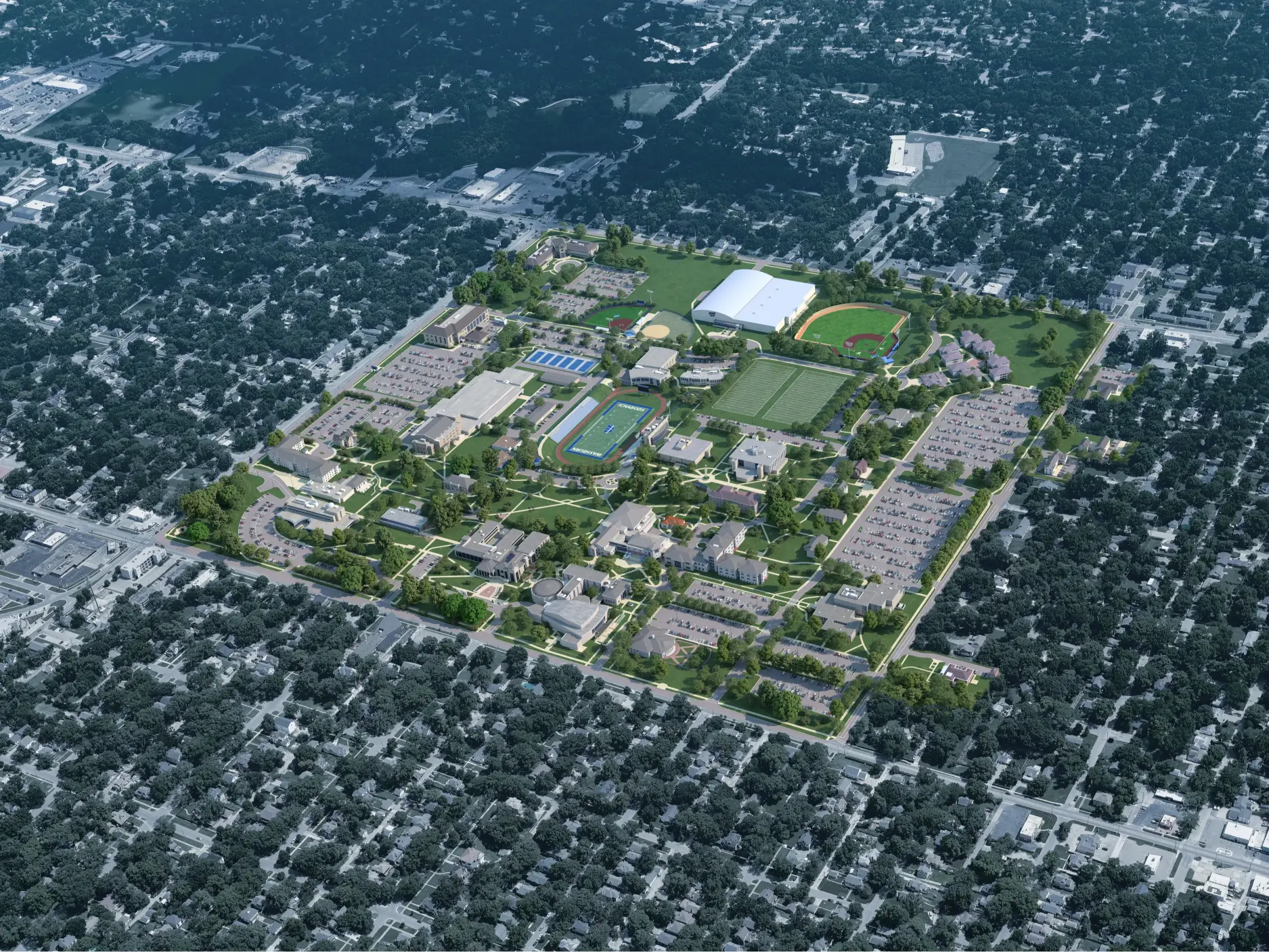
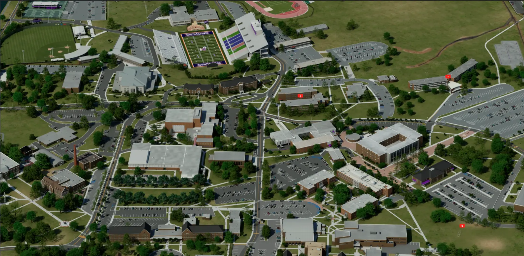
- (CampusTours models the campus map in the selected map artwork style.)
- We can provide samples of in-process map editing
- 3D Map JPG: https://campustours.com/clients/washburn/Washburn_R05.jpg
- 3D Map URL: https://washburn.hostexp.com/#ctdl-UMAP_20220815154252481
Client Feedback and Changes
- Once the 3D map is complete, clients have the opportunity to submit changes and identify issues. CampusTours resolves these issues and reissues the map for approval..
- We can provide links to show how clients submit changes and receive updated renderings
Map Finalization
Maps are designed for print use by adding building numbers and a map legend, and are integrated into interactive map software to make the map fully interactive online.)